NASA takes care of soil protection for farmers’ sake
 Pixabay License Free for commercial use Attribution not required
 In the legendary American Midwest, erosion costs farmers nearly $3 billion a year. But NASA data help them in choosing best practices to protect land and productivity
by Matteo Cavallito
NASA is one of the most well-known American symbols. But the sunny fields of the Midwest are no less iconic. Not surprising, then, for a technological superpower which is also a large agricultural country with no shortage of resources, that a close alliance between technology and nature is currently taking place. The goal? Ambitious, of course: protecting soil from its enemies.
The farmlands of the Corn Belt, in the heart of the midwestern U.S. “should be viewed as a national treasure!, Laura Gentry, a University of Illinois professor, director of water quality research at the Illinois Corn Growers Association and a partner in the NASA Harvest program, recently explained. “If we aren’t doing a good job of protecting them, people all over this country will feel it.” And so, as erosion advances and soil protection becomes even more urgent, help comes from the sky. Where satellites from the U.S. space agency collect useful data to guide farmers in choosing the best regeneration practices.
NASA has been collecting data for half a century
NASA‘s work is based on surveys from satellites operated by the Landsat program, launched in 1972. “Assessing the extent of erosion has long required time-consuming surveys” the agency says, “but the availability of satellite data and powerful computing tools has led to novel, region-wide approaches.” A recent investigation by the University of Massachusetts Amherst has combined topographic information and satellite imagery to analyze the level of erosion in the Corn Belt. The trend, the researchers explain, has wiped out about 1/3 of the topsoil with annual damages for farmers that would reach $2.8 billion.
However, the situation is evolving. Over the past 50 years, tillage has declined, explains Brian Gelder, a soil scientist at Iowa State University in Ames. Erosion is the result of various processes, some of which are related to climate change. “Satellite views allow us to stay current”, Gelder said. “Without them, we wouldn’t be able to continuously update our models.”
Climate and erosion in the spotlight
Climate remains the primary concern. “Intense spring rains delay planting, lowering yields,” says NASA. “And higher erosion rates follow delayed planting if summer thunderstorms hit fields before crops establish”. Some methods, however, can offer useful solutions. “This small handful of in-field practices—reduced tillage, cover crops and nutrient management—are the heroes of multiple natural resource concerns,” spiega ancora Laura Gentry. Together, they reduce erosion, improve water quality, enhance biodiversity and increase soil organic matter.”
Current #Soil Moisture Conditions, 8/5. pic.twitter.com/JOTLmJtYeN
— Farm Policy (@FarmPolicy) August 5, 2021
A ” prescription” for a healthy soil
The proof comes from satellites. Using data collected from space, Jillian Deines, a researcher at Stanford University, found that between 2005 and 2017 the yield of fields with low tillage levels in the Corn Belt had increased by 0.74% for soybeans and 3.3% for corn. His fellow Kaiyu Guan, of the University of Illinois, has built a model in cooperation with NASA that can describe the history of an agricultural field and thus suggest the best management practices. Data and technology, in short, offer the diagnosis. While scientists and farmers are turning into “soil physicians”. “Satellite data helps us understand the field’s conditions and history, and provide a customized ‘prescription,’” Guan said.
 pxhere CC0 Public Domain Free for personal and commercial use No attribution required
 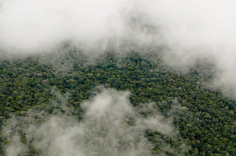 Photo: Neil Palmer/CIAT. Attribution-NonCommercial-NoDerivs 2.0 Generic (CC BY-NC-ND 2.0).
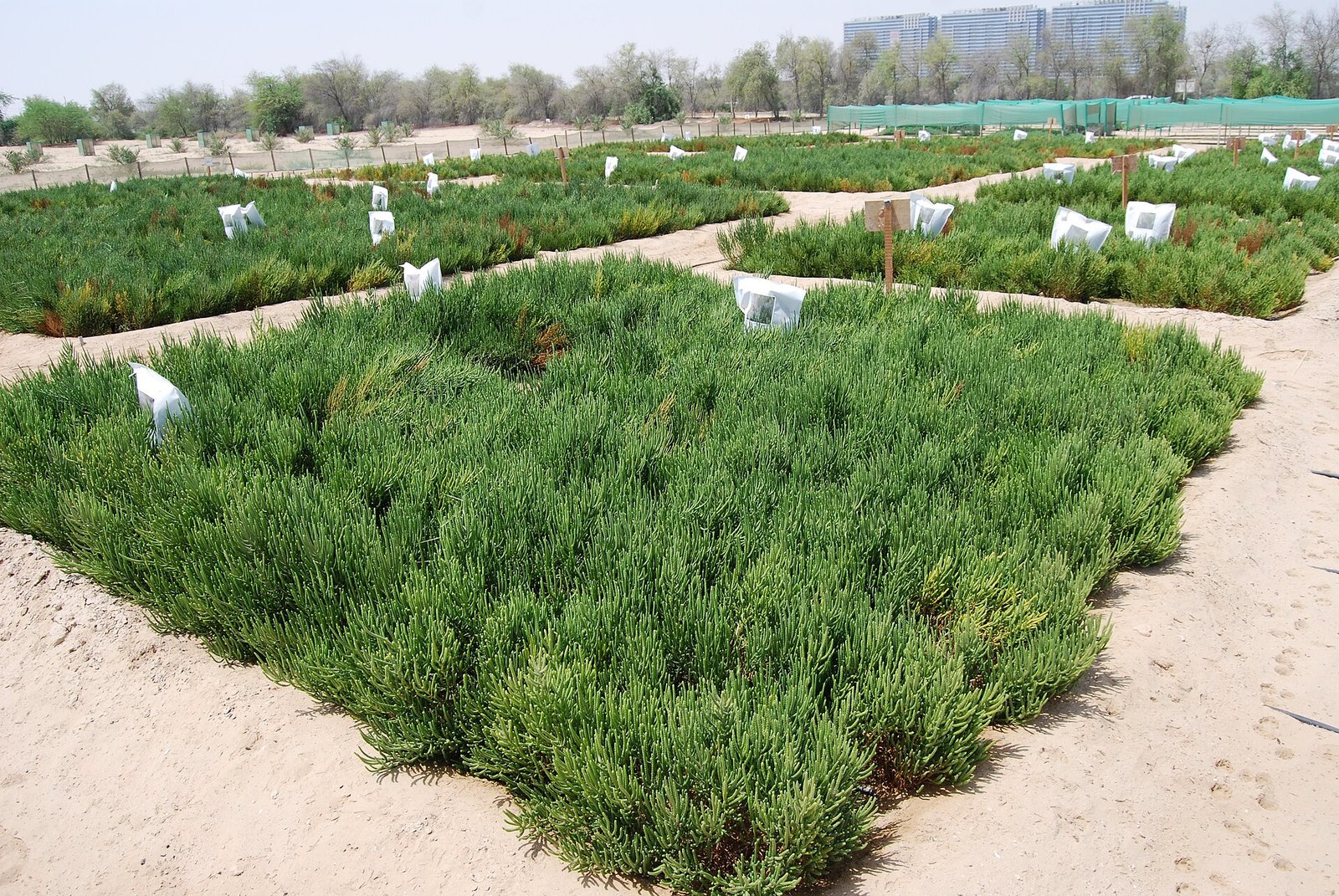 Photo: Charbel El Khouri - International Center for Biosaline Agriculture, CC BY-SA 4.0

