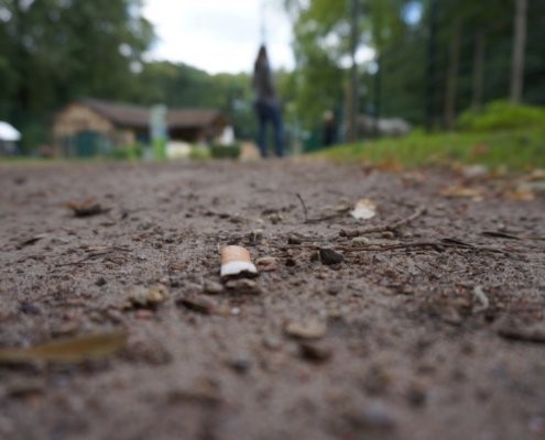
 pxhere CC0 Public Domain Free for personal and commercial use No attribution required
https://resoilfoundation.org/wp-content/uploads/2026/07/terreni-contaminazione-1.jpg
964
1459
Matteo Cavallito
https://resoilfoundation.org/wp-content/uploads/2020/01/logo_resoilfoundation.png
Matteo Cavallito2026-07-13 11:00:582026-07-09 11:43:21Here are the viruses that help clean up contaminated soil
pxhere CC0 Public Domain Free for personal and commercial use No attribution required
https://resoilfoundation.org/wp-content/uploads/2026/07/terreni-contaminazione-1.jpg
964
1459
Matteo Cavallito
https://resoilfoundation.org/wp-content/uploads/2020/01/logo_resoilfoundation.png
Matteo Cavallito2026-07-13 11:00:582026-07-09 11:43:21Here are the viruses that help clean up contaminated soil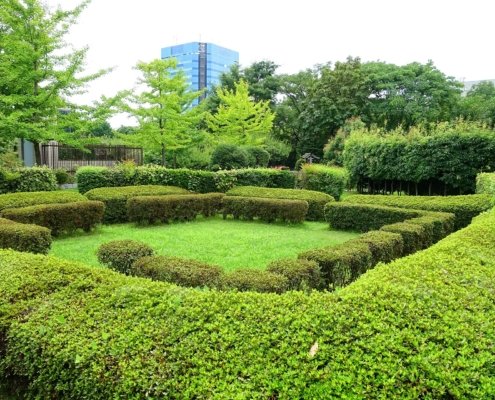 Daderot CC0 1.0 Universal CC0 1.0 Deed
https://resoilfoundation.org/wp-content/uploads/2026/06/Urban_Greening_Botanical_Garden_-_Kiba_Park_-_Koto_Tokyo_Japan_-_DSC05312-1.jpg
1280
1920
Matteo Cavallito
https://resoilfoundation.org/wp-content/uploads/2020/01/logo_resoilfoundation.png
Matteo Cavallito2026-06-05 11:00:082026-06-04 18:24:43From Genoa to New York: why depaving is reshaping the future of the cities
Daderot CC0 1.0 Universal CC0 1.0 Deed
https://resoilfoundation.org/wp-content/uploads/2026/06/Urban_Greening_Botanical_Garden_-_Kiba_Park_-_Koto_Tokyo_Japan_-_DSC05312-1.jpg
1280
1920
Matteo Cavallito
https://resoilfoundation.org/wp-content/uploads/2020/01/logo_resoilfoundation.png
Matteo Cavallito2026-06-05 11:00:082026-06-04 18:24:43From Genoa to New York: why depaving is reshaping the future of the cities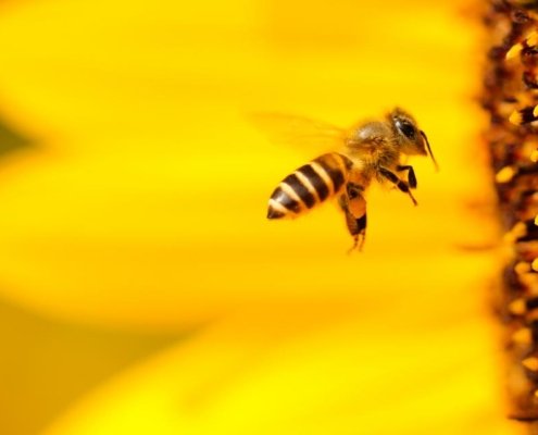 Boris Smokrovic CC0 1.0 Universal CC0 1.0 Deed
https://resoilfoundation.org/wp-content/uploads/2026/05/api-1.jpg
640
960
Matteo Cavallito
https://resoilfoundation.org/wp-content/uploads/2020/01/logo_resoilfoundation.png
Matteo Cavallito2026-05-20 11:00:582026-05-20 17:18:42Bees and biodiversity: a revolutionary radar is changing the way pollinators are monitored
Boris Smokrovic CC0 1.0 Universal CC0 1.0 Deed
https://resoilfoundation.org/wp-content/uploads/2026/05/api-1.jpg
640
960
Matteo Cavallito
https://resoilfoundation.org/wp-content/uploads/2020/01/logo_resoilfoundation.png
Matteo Cavallito2026-05-20 11:00:582026-05-20 17:18:42Bees and biodiversity: a revolutionary radar is changing the way pollinators are monitored https://resoilfoundation.org/wp-content/uploads/2026/04/Schermata-2026-04-20-alle-18.24.16.png
932
2536
Emanuele Isonio
https://resoilfoundation.org/wp-content/uploads/2020/01/logo_resoilfoundation.png
Emanuele Isonio2026-04-22 11:00:112026-04-20 18:44:01Thermal waters against desertification: the Hungarian experiment
https://resoilfoundation.org/wp-content/uploads/2026/04/Schermata-2026-04-20-alle-18.24.16.png
932
2536
Emanuele Isonio
https://resoilfoundation.org/wp-content/uploads/2020/01/logo_resoilfoundation.png
Emanuele Isonio2026-04-22 11:00:112026-04-20 18:44:01Thermal waters against desertification: the Hungarian experiment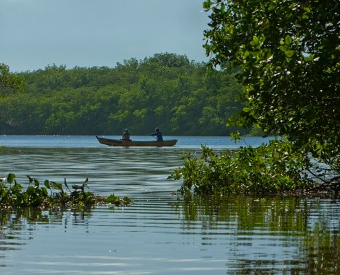 Jonathan Wilkins Attribution-ShareAlike 3.0 Unported CC BY-SA 3.0 Deed
https://resoilfoundation.org/wp-content/uploads/2026/03/mangroves-brazil-1.jpg
853
1280
Matteo Cavallito
https://resoilfoundation.org/wp-content/uploads/2020/01/logo_resoilfoundation.png
Matteo Cavallito2026-03-25 11:00:162026-03-25 19:15:04A new index measures soil health in mangrove forests
Jonathan Wilkins Attribution-ShareAlike 3.0 Unported CC BY-SA 3.0 Deed
https://resoilfoundation.org/wp-content/uploads/2026/03/mangroves-brazil-1.jpg
853
1280
Matteo Cavallito
https://resoilfoundation.org/wp-content/uploads/2020/01/logo_resoilfoundation.png
Matteo Cavallito2026-03-25 11:00:162026-03-25 19:15:04A new index measures soil health in mangrove forests Photo: Carol M. Highsmith Attribution-ShareAlike 4.0 International CC BY-SA 4.0 Deed
https://resoilfoundation.org/wp-content/uploads/2026/02/terreno-microbioma-usa.jpg
854
1280
Matteo Cavallito
https://resoilfoundation.org/wp-content/uploads/2020/01/logo_resoilfoundation.png
Matteo Cavallito2026-02-02 11:00:292026-01-29 18:34:19US soil microbiome under investigation by researchers
Photo: Carol M. Highsmith Attribution-ShareAlike 4.0 International CC BY-SA 4.0 Deed
https://resoilfoundation.org/wp-content/uploads/2026/02/terreno-microbioma-usa.jpg
854
1280
Matteo Cavallito
https://resoilfoundation.org/wp-content/uploads/2020/01/logo_resoilfoundation.png
Matteo Cavallito2026-02-02 11:00:292026-01-29 18:34:19US soil microbiome under investigation by researchers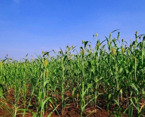 Pixabay Creative Commons CC0 1.0 Universal Public Domain Dedication license
https://resoilfoundation.org/wp-content/uploads/2026/01/piante-cereali-1.jpg
702
1063
Matteo Cavallito
https://resoilfoundation.org/wp-content/uploads/2020/01/logo_resoilfoundation.png
Matteo Cavallito2026-01-19 11:00:292026-01-19 13:13:00Researchers have turned cereal plants into pollution sensors
Pixabay Creative Commons CC0 1.0 Universal Public Domain Dedication license
https://resoilfoundation.org/wp-content/uploads/2026/01/piante-cereali-1.jpg
702
1063
Matteo Cavallito
https://resoilfoundation.org/wp-content/uploads/2020/01/logo_resoilfoundation.png
Matteo Cavallito2026-01-19 11:00:292026-01-19 13:13:00Researchers have turned cereal plants into pollution sensors U.S. Department of Agriculture (USDA) CC0 1.0 Universal CC0 1.0 Deed
https://resoilfoundation.org/wp-content/uploads/2026/01/suolo-umidita.jpg
884
1338
Matteo Cavallito
https://resoilfoundation.org/wp-content/uploads/2020/01/logo_resoilfoundation.png
Matteo Cavallito2026-01-02 11:00:192025-12-17 13:19:11Measuring global soil moisture is more difficult than expected
U.S. Department of Agriculture (USDA) CC0 1.0 Universal CC0 1.0 Deed
https://resoilfoundation.org/wp-content/uploads/2026/01/suolo-umidita.jpg
884
1338
Matteo Cavallito
https://resoilfoundation.org/wp-content/uploads/2020/01/logo_resoilfoundation.png
Matteo Cavallito2026-01-02 11:00:192025-12-17 13:19:11Measuring global soil moisture is more difficult than expected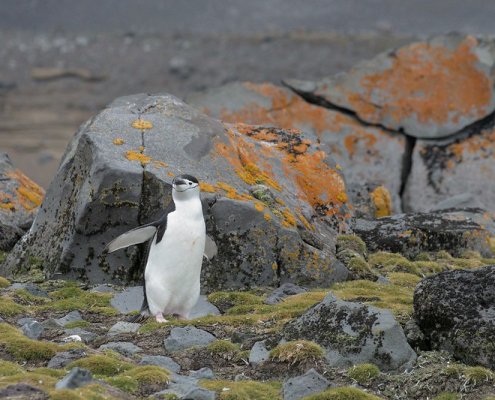 Rob Oo Attribution 2.0 Generic CC BY 2.0 Deed
https://resoilfoundation.org/wp-content/uploads/2025/08/antartide-1.jpg
533
799
Matteo Cavallito
https://resoilfoundation.org/wp-content/uploads/2020/01/logo_resoilfoundation.png
Matteo Cavallito2025-08-27 11:00:072025-09-02 11:10:56Hyperspectral images reveal the health status of vegetation in Antarctica
Rob Oo Attribution 2.0 Generic CC BY 2.0 Deed
https://resoilfoundation.org/wp-content/uploads/2025/08/antartide-1.jpg
533
799
Matteo Cavallito
https://resoilfoundation.org/wp-content/uploads/2020/01/logo_resoilfoundation.png
Matteo Cavallito2025-08-27 11:00:072025-09-02 11:10:56Hyperspectral images reveal the health status of vegetation in Antarctica

