Soil analysis can help prevent wildfires
 Eric Coulter Bureau of Land Management California Public Domain Mark 1.0
 Wildfires can be predicted through soil moisture assessment. But data collection in the field is not always easy. A group of US researchers is trying to solve the problem
by Matteo Cavallito
Soil analysis could help prevent wildfires better than traditional weather forecasting, says a group of U.S. researchers led by Tyson Ochsner, a professor of Plant and Soil Sciences at Oklahoma State University. Typically, experts assess the risk of flames spreading from variables such as rainfall and drought. But studying specific factors, starting with soil water concentration, the researchers explain, could lead to more effective predictions.
“Over the past decade or so, researchers have learned that soil moisture information can contribute to better wildfire danger ratings in many locations by replacing outdated drought indices and by informing predictions of fuel moisture and fuel loads,” Ochsner said, quoted by the Soil Science Society of America. Low moisture, in fact, prevents plants from growing by causing them to dry out, thus providing fuel for flames.
The importance of data
“Few existing fire danger rating systems incorporate soil moisture information,” the researchers explained during a recent presentation, “even though such information is increasingly available and has been shown to help improve predictions of fuel loads, fuel moisture, wildfire probability, and wildfire size.”
The result is that “the potential for more accurate and timely fire danger warnings is unrealized, while increasing wildfire activity harms human and natural systems in various regions around the world.”
The problem, the researchers notice, however, is that while weather observations can rely on the presence of an established network of survey stations and satellites, ground monitoring capacity remains very limited. “One major challenge is that we do not have adequate soil moisture observations in forests,” Ochsner explains “They have few monitoring stations on the ground and the satellites we use to observe soil moisture from space can have difficulty penetrating the forest canopy.”
The Project
To address this problem, Ochsner and the other researchers developed a project together with the U.S. Forest Service of the U.S. Department of Agriculture. The initiative led to the development of a predictive model called TOPOFIRE to improve soil assessments.
“TOPOFIRE improves on some prior models by more accurately accounting for the effects of topography on soil moisture, such as the tendency for north facing slopes to be cooler and wetter,” Ochsner said. “This may prove particularly helpful for predicting fire danger in mountainous regions.”
Created with support from the South Central Climate Adaptation Science Center, the National Integrated Drought Information System and NASA‘s Applied Science Program, the model integrates with ground-based surveys allowing for effective fire prevention efforts, according to the authors.
Wildfires are increasingly devastating
The issue is of primary importance considering the latest data. Indeed, the years 2020 and 2021, the authors recall, were the worst in the history of wildfires in California. Climate change has long contributed to exacerbating the problem. In the U.S., the area affected by flames each year has more than tripled in the past 40 years.
The phenomenon also affects Europe. According to EU Commission estimates, the fire season in 2019 and 2020 is longer than in the past while the number of fires and the area burned have exceeded the average of the past 12 years.
To date, 85 percent of the burned area is in the south where Portugal, Spain, France, Italy and Greece lose an average of almost 500 thousand hectares per year. Increased fire danger, in any case, is also reported in northwestern and central Europe.
 Philip Halling CC BY-SA 2.0 DEED Attribution-ShareAlike 2.0 Generic
  pxhere CC0 Public Domain Free for personal and commercial use No attribution required
 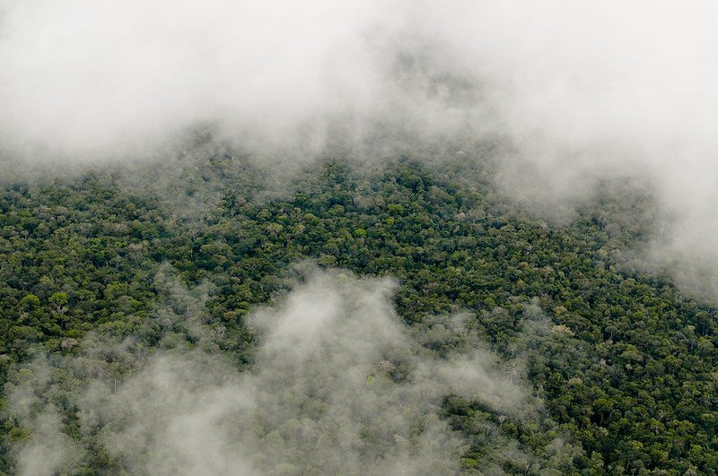 Photo: Neil Palmer/CIAT. Attribution-NonCommercial-NoDerivs 2.0 Generic (CC BY-NC-ND 2.0).

