Half a century’s data on British soil now available to the public
 Siegfried Makedanz Attribution-NonCommercial 2.0 Generic CC BY-NC 2.0 Deed
 Cranfield University opens access to LandISPortal, an online database built on more than 30,000 soil samples and 250,000 field observations collected over half a century
by Matteo Cavallito
The central role of soil in environmental protection and climate mitigation policies is now widely recognised in the political agendas of many countries. In this context, the dissemination and sharing of data remain essential tools for developing new solutions. Scientists at Cranfield University in Bedford, United Kingdom, share this view and recently announced that they had made their digital system freely accessible: LandISPortal, one of Europe’s largest collections of environmental and soil data.
Developed by the university in collaboration with the UK Department for Environment, Food and Rural Affairs (Defra), the platform now provides citizens, researchers, farmers and public authorities with detailed information on soils across England and Wales. The database also includes the National Soil Map (NATMAP), the country’s main reference resource for soil knowledge.
An initiative launched in the 1970s
The original National Soil Inventory (NSI) survey, launched in the 1970s, at a time when less than 25% of England and Wales had been studied in detail, was not driven solely by scientific needs. At the time, the British Ministry of Agriculture had also identified health problems linked to livestock farming, suggesting that some animal diseases could be connected to a lack of micronutrients in the soils ingested by grazing animals together with forage.
The sampling method was relatively simple yet rigorous. Technicians collected samples according to a regular grid, with points spaced 5 kilometres apart.
“Funding constraints meant that only the top layer of soil 0-15cm thick (or less if the soil was shallower than that) was sampled”, spiegano i ricercatori. “The actual soil sample was taken by bulking soil obtained by mild-steel screw-auger (stainless steel or plated augers were forbidden) at the nodes of a 4x4m grid centered on the 5km grid point”. Urban areas were excluded and, if the selected point was inaccessible, an alternative site was identified nearby. Overall, “the programme yielded 5693 soil samples”.
From static mapping to continuous monitoring
Today, the platform includes “more than 250,000 field observations and over 30,000 detailed soil profile descriptions”, as well as hundreds of specialist publications and thematic maps. But this is not the only reason why it is now considered far more accurate than in the past. In previous decades, analyses focused mainly on basic chemical and physical characteristics: organic carbon, pH, granulometry, nutrients and trace elements. All of this relied on standardised tools and methodologies that were more limited than those available today.
By combining decades of historical data with advanced digital tools, georeferencing, statistical modelling and predictive models, LandISPortal now aims to provide continuous monitoring of soil health.
While the original survey was primarily designed to create a static inventory of the territory, the current system instead examines phenomena such as erosion, loss of organic carbon, compaction and contamination, supporting environmental policies and climate adaptation strategies. Open access to information is a natural consequence: data that were once available only to public bodies and specialised researchers can now be accessed online free of charge.
Soil as natural capital
Faced with critical phenomena that are placing increasing pressure on soils, the availability of environmental data is therefore considered more and more crucial. “Soil is a key element of our natural capital and it is something that can’t be replaced. I can’t emphasise enough how vital soil health and sustainable management of our soils is to food security, our environment, our health and our way of life,” said Ron Corstanje, professor and director of the Cranfield Environment Centre.
He added: “Opening up access to this data will help monitor soil health and the wider ecosystems at both local and national levels – this is crucial to protecting and safeguarding our future”.
For Cranfield University, which has developed specialised expertise over decades in soil quality analysis, data management and ecosystem studies, opening the portal is consistent with the national Land Use Framework, the strategic plan through which the UK government aims to coordinate land use by balancing agriculture, environmental protection, urban development and climate goals. In particular, the programme promotes the sharing of environmental data to improve both public and private decision-making.
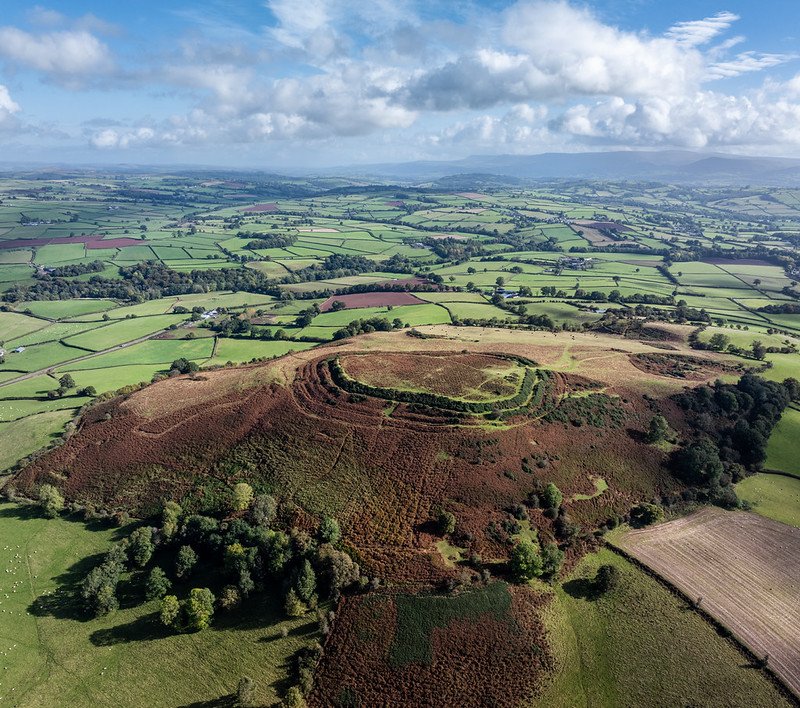
 Philip Halling CC BY-SA 2.0 DEED Attribution-ShareAlike 2.0 Generic
  pxhere CC0 Public Domain Free for personal and commercial use No attribution required
 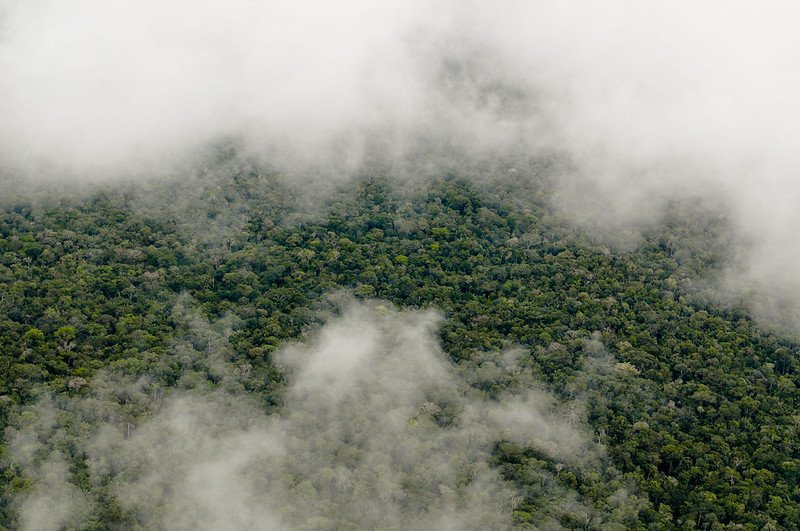 Photo: Neil Palmer/CIAT. Attribution-NonCommercial-NoDerivs 2.0 Generic (CC BY-NC-ND 2.0).

