Tracking soybean to stop deforestation with chemistry and AI
 Pixabay Creative Commons CC0 1.0 Universal Public Domain Dedication license
 An innovative method combines chemical fingerprinting and machine learning to pinpoint the origin of soybeans with unprecedented accuracy. A practical tool to support the enforcement of stricter traceability rules
by Matteo Cavallito
The expansion of certain crops, especially soybeans, is one of the leading causes of global deforestation. It is therefore no surprise that, in recent years, new traceability regulations have been introduced with the aim of limiting imports of raw materials produced as a result of new deforestation activities in the most vulnerable areas. Identifying the origin of these products, however, is far from straightforward. A new scientific tool could now mark a turning point in this regard.
The development was highlighted in a study published in Nature Communications Earth and Environment, which introduces an innovative technique for identifying the origin of soybeans — the third leading driver of tropical deforestation, as the authors point out. The method combines analysis of the chemical fingerprint of harvested crops with advanced geospatial machine-learning models, making it possible to accurately estimate the place of production.
Soybeans account for one-eighth of global agricultural deforestation
“Despite multi-national, governmental and corporate pledges, global deforestation remains alarmingly high, driven primarily by agricultural expansión”, explains the study. “Tropical forests are hardest hit by agricultural encroachment, and have lost 3.7 million hectares (Mha) to agricultural expansion in 2023 alone”. Responsible on its own for around 11.5% of commodity-driven deforestation, researchers note in a statement released by the University of Sheffield, soybean production — heavily export-oriented — makes supply chains highly complex and difficult to monitor.
The research, carried out by an international team of scientists, shows that it is possible to overcome the limitations of traditional traceability methods by identifying the origin of crops with unprecedented precision.
In short, this level of detail represents a major step forward compared with previous classifications, which were limited to the national or regional scale. Specifically, the system integrates environmental data and machine-learning models to link the chemical characteristics of the product to specific geographical areas. This method is also scalable and could potentially be applied to other commodities at high risk of driving deforestation, including cocoa, palm oil, timber and rubber, to name just a few.
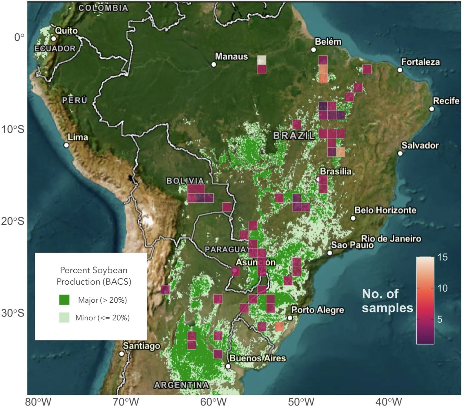
The study area. The green shading represents the relative presence of soybean cultivation. Source: Maor, R., Truszkowski, J., Ablett, F. et al. High-resolution soybean tracing for deforestation-free supply chains. Commun Earth Environ 7, 310 (2026). [https://doi.org/10.1038/s43247-026-03380-8](https://doi.org/10.1038/s43247-026-03380-8) Attribution 4.0 International CC BY 4.0 Deed
Unprecedented accuracy
During the study, researchers analysed 267 soybean samples collected across different areas of Brazil, Argentina and Bolivia, measuring both the ratios of stable isotopes (such as hydrogen, carbon, nitrogen, oxygen and sulphur) and the concentration of trace elements found in the seeds. Since these parameters depend on climatic factors and soil characteristics, identifying them in detail makes it possible to reveal a distinctive geographical fingerprint. But how exactly? A decisive contribution comes from artificial intelligence, which combines chemical data with the geographical distance between samples to estimate the most likely location of the harvest.
The model achieved an average error margin of around 192 kilometres from the actual harvesting site, significantly improving the performance of previously used systems, which focused exclusively on a single variable (either trace elements or stable isotopes) and exceeded 300 km.
The new combined system also drastically reduced the area of uncertainty, ensuring greater reliability in the estimates. This makes it possible not only to determine the origin of a soybean batch. But also to verify the credibility of its declared origin, with obvious implications for the practical enforcement of new traceability regulations.
A new tool for traceability
This tool, scientists explain, could therefore help support the implementation of the European Union Deforestation Regulation (EUDR), which will come into force in December 2026 and will require companies to demonstrate the proper origin — namely, one not linked to deforestation — of imported raw materials. While not a definitive solution, the new technology nonetheless represents an important step forward towards more transparent and sustainable supply systems.
“Our spatially explicit model is a leap forward in commodity traceability, enabling both origin determination and verification of origin claims in true geographical space”, conclude the researchers. “Applicable to many commodities, this framework provides transparency regardless of supply-chain complexity, and facilitates effective regulation of commodity supply chains to tackle illegal deforestation”.
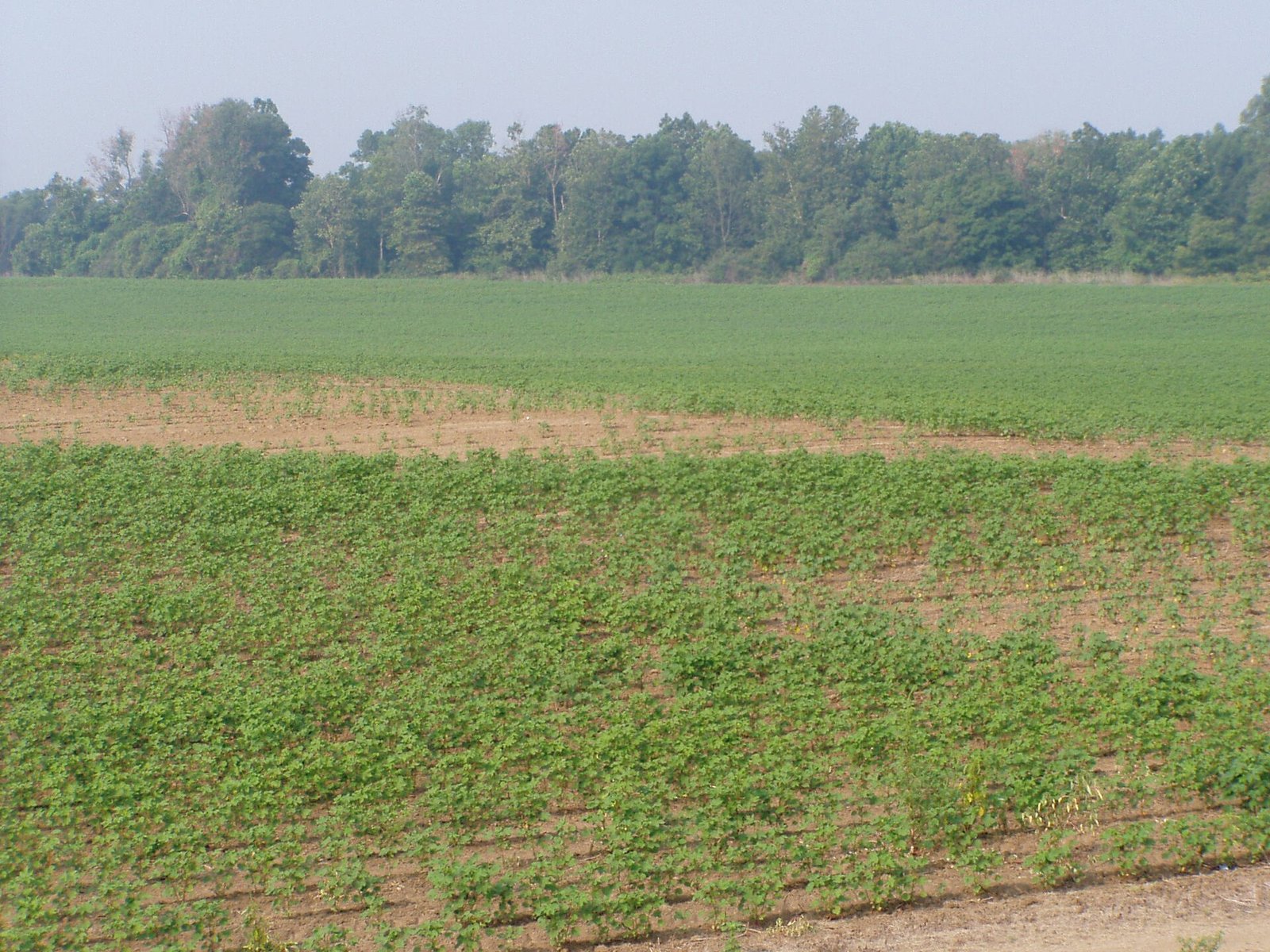 Chris Light, Attribution-ShareAlike 4.0 International (CC BY-SA 4.0)
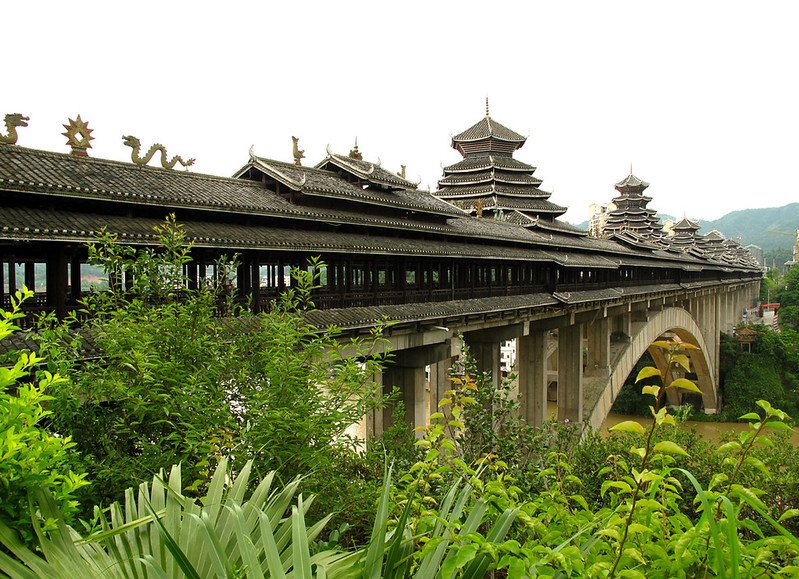 Rutger van der Maar, CC BY 2.0.
 Photo: lubasi, Creative Commons Attribution-ShareAlike 2.0 (CC BY-SA 2.0)

