A new map will reveal the CO2 sequestration potential of our soils
 Nandan CC0 - Free to Use, Attribution Optional
FAO is providing regional training sessions on data processing through the GSOCseq program. Its goal? To provide a map of soil carbon capture potential under a variety of scenarios. An extra tool to protect climate and soil health
by Matteo Cavallito
Data analysis is a key option for the development of the most effective strategies in soil and climate protection according to FAO. Not surprising, earlier this year the organization has launched a new cycle of regional training sessions on the soil organic carbon sequestration issue. The program, called GSOCseq and already kickstarted in Latin America, is now reaching Asia and Europe. Its goal is the creation of a map to show how soil CO2 capture ability varies in different areas with different land management strategies. “The GSOCseq map will serve as a steppingstone to provide a data driven knowledge base to coordinate action and foster international co-operation to mitigate climate change and combat food insecurity” FAO says.
CO2 capture is not constant
“It has been suggested that soil C sequestration through improved soil/land management practices could be a significant greenhouse gas removal strategy” FAO writes in its technical analysis. “However, the extent and rates of soil organic carbon (SOC) sequestration under different land use and management practices can vary greatly depending on soil characteristics, topography and climate. It is thus relevant to identify which regions, environments and agricultural systems present the greater potential for increasing SOC stocks, and to establish priorities for the implementation of public and private policies.”
The issue and the underlying solutions are well known. EU, for instance, has recently launched the Landsupport project with the aim of creating an integrated system based on data and simulations. The concept is to create an information network to provide the most suitable guidance in the protection of each kind of soil according to its properties.

Global Soil Organic Carbon Map (GSOCmap) is inspired GSOCseq, which is also based on data collection and processing. Image: FAO Attribution 4.0 International (CC BY 4.0)
Four different scenarios to elaborate the scenarios
Inspired by the Global Soil Organic Carbon Map (GSOCmap) and the Salinity Map (GSSmap), the GSOCseq work will be generated through “bottom-up” input from operators.“Member countries will be invited to generate national SOC sequestration potential maps by simulating SOC stocks over a 20-year period in agricultural lands under four different scenarios” FAO says. The four scenarios will be comprised of a Business as Usual (BAU) scenario and three scenarios varying in the degree of adoption (Low, Middle and High) of Sustainable Soil Management SSM. The training courses aim to provide attendees with the technical skills for using the GSOCseq Capacity Development program, which includes data processing.
The project goal
GSOCseq initiative will help countries to support the fulfilment of bilateral environmental agreements. Including the Paris Agreement and the European New Green Deal. The program will also support countries to achieve the Sustainable Development Goals (SDGs), specifically the Goals on zero hunger (SDG 2), climate action (SDG 13), and life on land (SDG 15)”.
The GSOCmap is designed “to support policymakers and researchers by identifying and mapping areas with high sequestration potential” Fao says. This will provide “a framework for countries to exchange knowledge in a harmonized and effective way. And support the provision of incentives to farmers implementing SOC-cantered SSM practices.”
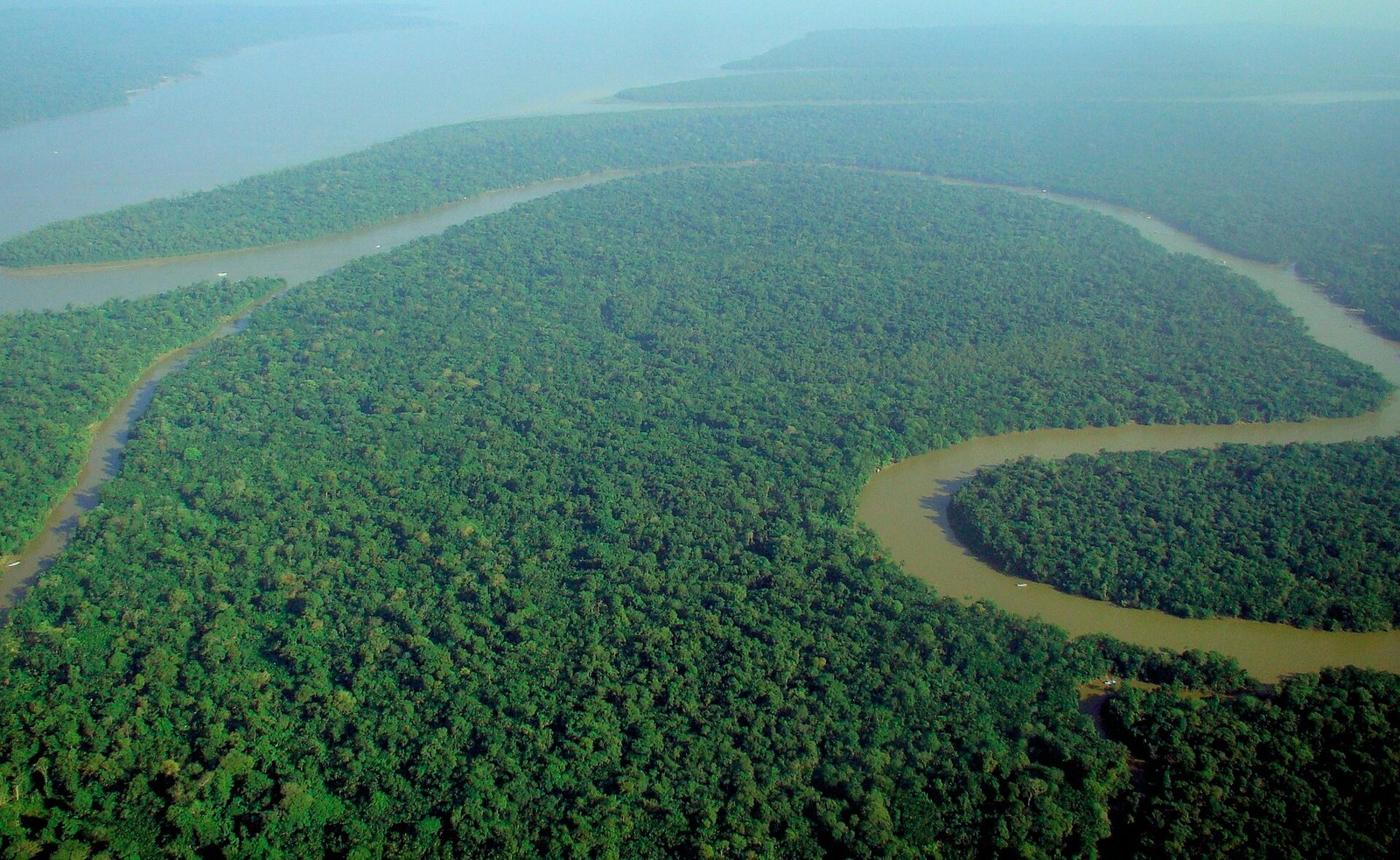 Photo: lubasi, Creative Commons Attribution-ShareAlike 2.0 (CC BY-SA 2.0)
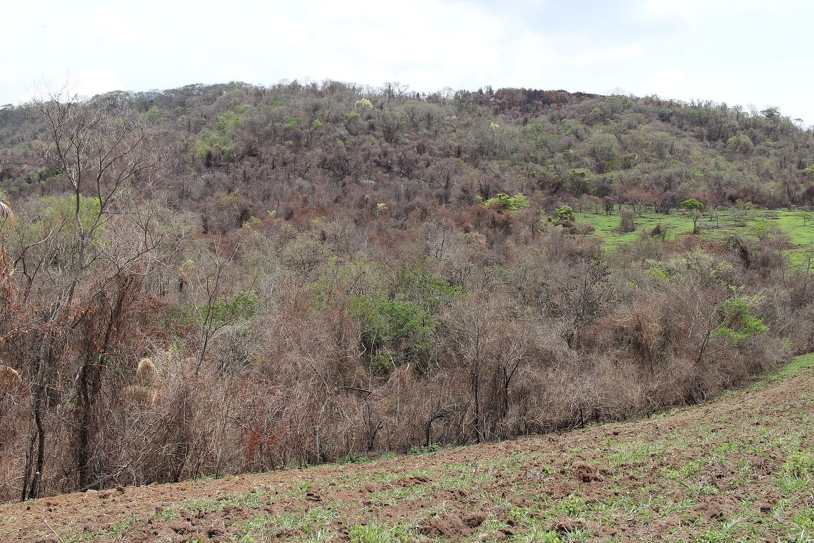 Thyrome, CC BY 4.0.
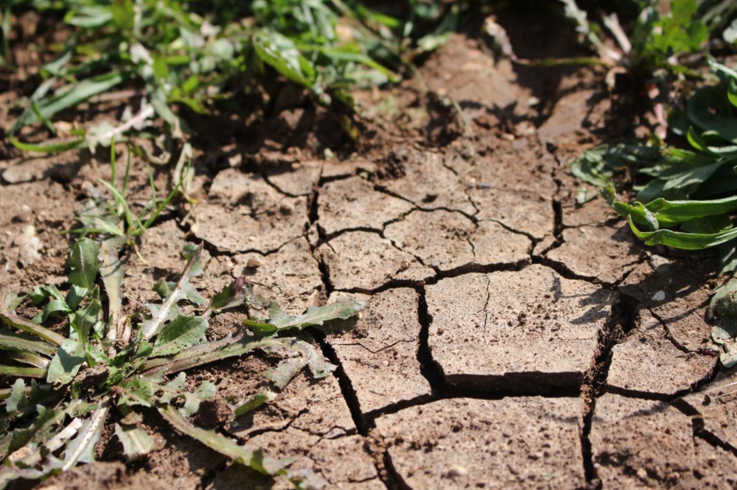 pxhere, CC0 Public Domain. Free for personal and commercial use. No attribution required

