Land subsidence: a global map reveals where the ground is sinking and why
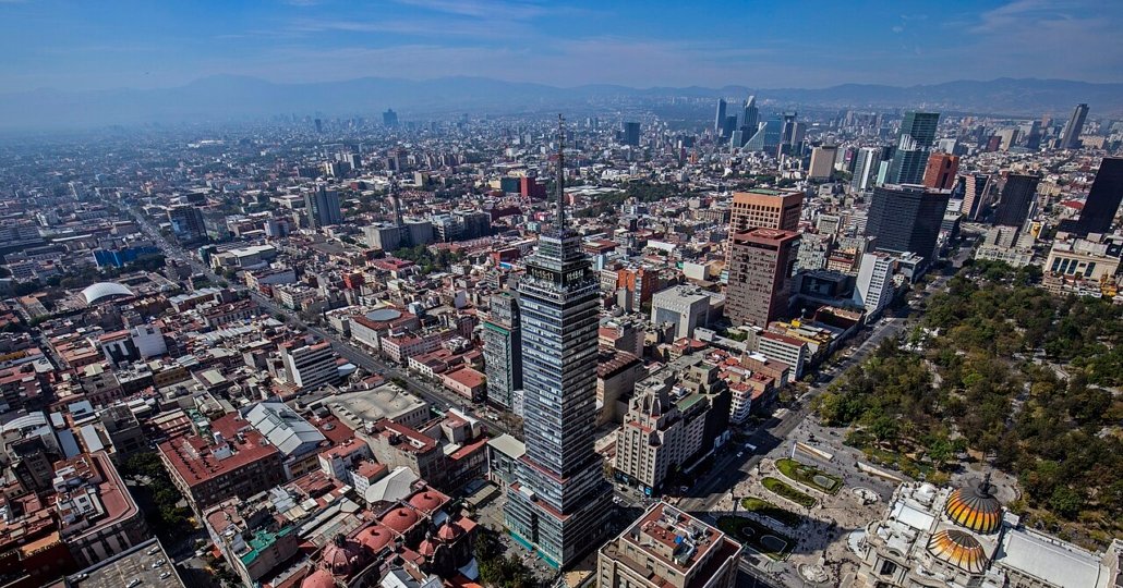
A study published in Nature Cities examines land subsidence in 465 cities across 107 countries. Often driven by excessive groundwater extraction, sinking land threatens buildings and infrastructure and increases vulnerability to flooding. But in some cities, subsidence is slowing down, showing that effective action is possible
by Emanuele Isonio
The ground beneath our feet is not as stable as it might seem. It can sink slowly, by just a few millimetres each year, without anyone noticing. Yet over the decades, these small movements can turn into a major problem: cracked buildings, deformed roads, damaged infrastructure and neighbourhoods increasingly exposed to the risk of flooding. This phenomenon is known as land subsidence, one of the least visible but potentially most serious processes affecting urban areas worldwide.
A new study published in the scientific journal Nature Cities provides a global picture of the phenomenon, analysing vertical ground movements in 465 cities across 107 countries. Using satellite observations, researchers reconstructed how land subsidence evolved between 2014 and 2023, identifying not only areas where the ground is sinking, but also those where the process is accelerating or slowing down.
The result is an interactive map that helps illustrate how human activities can alter underground conditions and, above all, why understanding these processes is essential to making cities more resilient.
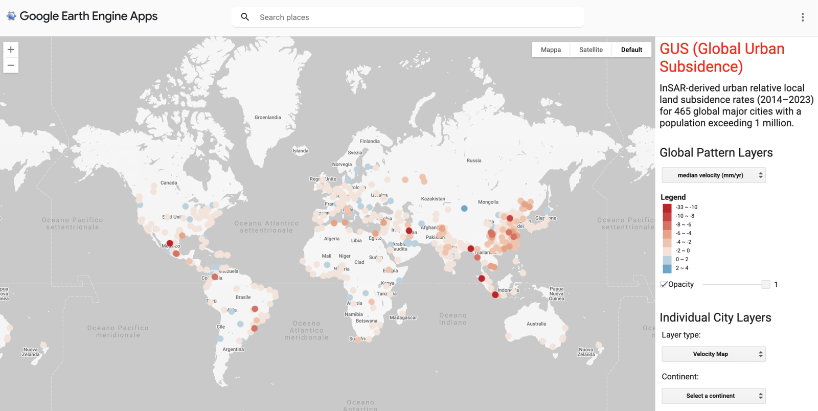
The interactive map shows the extent and rate of land subsidence in all the cities analysed in the study. SOURCE: Lijun Wang, Zurui Ao, Shengli Tao, Xie Hu e altri – A global view of urban land subsidence and its changing trajectories, Nature cities, 2026.
From Mexico to Asia: where the ground is sinking fastest
The study, led by researchers from Peking University and South China Normal University, used Interferometric Synthetic Aperture Radar (InSAR), a satellite-based technique capable of detecting ground movements of just a few millimetres. The resulting maps have a spatial resolution of approximately 40 metres and cover cities with populations exceeding one million.
The most critical situations are concentrated in Southeast Asia, west-central Asia and parts of North America. Particularly significant examples include Mexico City and Medan, Indonesia, where sinking land poses a serious threat to urban safety.
However, the phenomenon is not limited to major cities already known for their subsidence problems. Researchers also identified significant ground movements in relatively understudied regions, including South America, Africa and Russia. This geographical distribution shows that land subsidence is not confined to specific climatic conditions or levels of economic development.
Why are cities sinking? The role of groundwater
Land subsidence has multiple causes. Some are natural, such as sediment compaction, tectonic movements and geological processes occurring underground. Others are directly linked to human activities.
One of the most important is excessive groundwater extraction. When water is withdrawn faster than it can be replenished, pressure within aquifers decreases. In areas characterised by compressible sediments, particularly clay, this can cause the gradual compaction of geological layers and the resulting lowering of the land surface.
In some cases, the process is irreversible: even if groundwater levels are restored, the land may never fully recover its original elevation.
Other contributing factors include oil and gas extraction, the weight of buildings and changes in land use. However, it is important to distinguish between these different causes: satellite measurements can detect ground movements, but cannot, on their own, attribute them to a single factor.
The relationship between land subsidence and climate change is particularly complex. Prolonged droughts and growing water demand can increase pressure on groundwater resources, while in coastal cities, sinking land combines with rising sea levels, further increasing the risk of flooding.
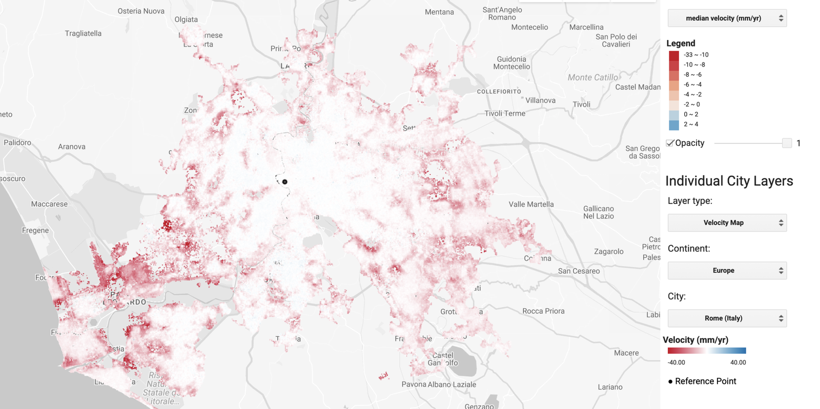
The detailed map of subsidence rates in Rome shows where the phenomenon is most severe. SOURCE: Lijun Wang, Zurui Ao, Shengli Tao, Xie Hu et al., “A global view of urban land subsidence and its changing trajectories”, Nature Cities, 2026.
Not all cities are following the same trajectory
One of the study’s most innovative aspects is its analysis of how subsidence changes over time. Researchers found that land subsidence is slowing down in numerous cities across East and Southeast Asia. However, extensive urban areas in these same regions are still experiencing accelerating rates of ground sinking.
This variability suggests that subsidence patterns are neither inevitable nor uniform. Groundwater management can play a decisive role in limiting the phenomenon.
The experience of cities such as Tokyo, where restrictions on groundwater withdrawals have helped dramatically reduce subsidence, demonstrates the importance of preventive policies based on a sound understanding of aquifers, continuous monitoring and the regulation of groundwater use.
Managed aquifer recharge can also offer a solution, provided it is compatible with local geological and hydrogeological conditions.
Urban soil: a resource to understand and protect
The research draws attention to an often-overlooked dimension of urban sustainability: what happens beneath the surface of our cities.
Land subsidence is not the same as soil degradation in the strict pedological sense, but it highlights how essential underground conditions are to the safety of human settlements. Unsustainable management of subsurface resources can have consequences that only become visible at ground level many years later.
For this reason, urban planning should make greater use of geological and hydrogeological information, integrating continuous ground movement monitoring into climate adaptation policies.
Understanding where the ground is sinking, and especially where the process is accelerating, is the first step towards preventing damage that could become increasingly costly. Because urban resilience depends not only on what we build above ground, but also on our ability to protect the delicate balance of what lies beneath our feet.
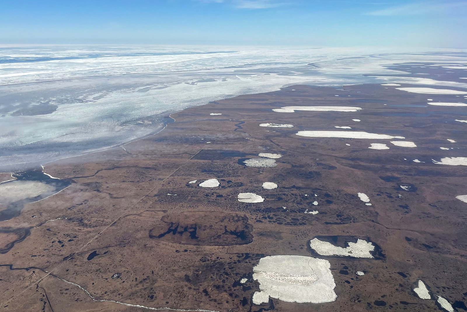 Quintin Soloviev, CC BY 4.0
 obi Kellner, CC BY-SA 4.0
 Oded Gilad, CC BY-SA 4.0