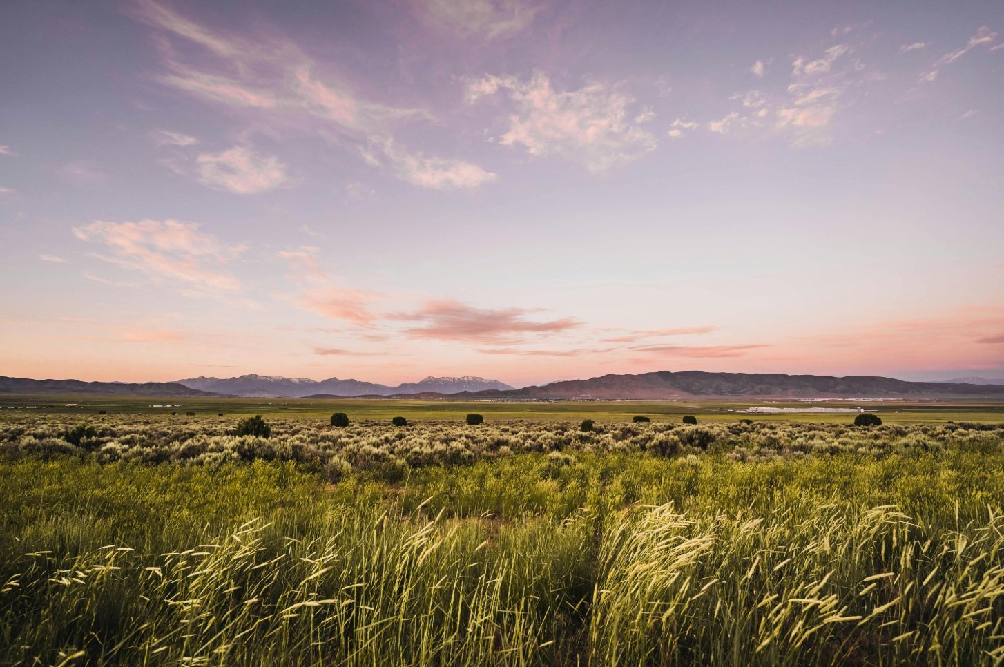
Ireland has mapped its peat soils (through AI and gamma rays)
 SoilScience.info Attribution 2.0 Generic CC BY 2.0 Deed
By combining AI machine learning with radiometric data, researchers at the University of Galway managed to identify not previously detected peat soils
by Matteo Cavallito
Creating a new approach for detecting peat soils to understand where carbon is stored. That’s what researchers at the University of Galway have done, by combining new analytical techniques and aerial observation data to provide an updated picture of the distribution of these soils in Ireland.
The results of the study, conducted in cooperation with Trinity College Dublin and other research institutions, provide new insights to guide land-use choices and mitigation efforts for greenhouse gas emissions.
Crucial soils for carbon sequestration
Peat soils, says a statement from the Galway University, differ from mineral soils because they consist of decaying plant material mixed with water and, most importantly, contain a significant amount of carbon. Preserving their integrity, in other words, means limiting practices that promote emissions of the element – such as drainage – thus protecting the recognized climate-mitigating role of these soils.
In this scenario, carrying out accurate mapping therefore becomes crucial. However, the researchers explain, current methods – from field sampling to satellite monitoring – have some limitations.
“Traditional sampling often omits boundaries and transition zones between peat and mineral soils,” the study states. At the same time, “satellite data only measure the surface and may not be able to penetrate landcover, potentially omitting areas of peat under, for example, grassland or forestry.” The researchers therefore developed a new system that involves the use of a machine learning algorithm to identify peat soils identifiable as such based on features evidenced in the first 60 cm of depth.
A more accurate map with radiometry and artificial intelligence
The research is based on radiometry or, specifically, on measuring the intensity of gamma rays – emitted as a result of the natural radioactive decay of rocks and soils – detected by surveys at altitude. “Peat soils have a unique ability to block this type of naturally occurring radiation, drastically reducing the number of gamma rays detected by the sensor mounted on the aircraft when flying over peat soils,” explained Dave O’Leary, researcher and co-author of the study.
By applying an artificial intelligence model to analyze radiometric data collected from aircraft over the years, the authors managed to distinguish areas with peat soils from those without.
The system also allowed them to more accurately classify transition zones between these different soil types by better assessing soil changes in less “visible” environments such as some grasslands and forests. Finally, the data were corrected with some sample observations made on the ground. “The resulting map is a step towards understanding the true spatial distribution of peat soils in Ireland, including transition zones,” the study states.

The new peat land distribution map that includes transition areas. Data for Northern Ireland not available. Image: O’Leary et al. “Airborne radiometric data for digital soil mapping of peat at broad and local scales”, Geoderma Volume 453, January 2025, 117129 https://doi.org/10.1016/j.geoderma.2024.117129 Attribution 4.0 International CC BY 4.0 Deed
In Ireland hosts more peat soils than previously thought
The study thus revealed how peat soils-or partially peat soils-are more widespread than previously thought. Using this new research approach, in fact, the area considered “peatland” in Ireland actually amounts to 30 percent of the total area versus 24 percent initially estimated. “Few countries have invested in such an incredible dataset,” O’Leary further states. “We hope that our research will encourage and incentivise other countries to invest in such surveys to meet their peatland mapping needs.”
According to his colleague Eve Daly, in particular, the study “gives decision makers and regulators more accurate spatial data on the extent of peat soil in Ireland and will assist in highlighting specific areas that are suitable, or not, for interventions to mitigate greenhouse gas emissions.”
Land use, which includes agricultural activities and peatland drainage, Agence France-Presse explained in recent weeks, is one of Ireland’s largest sources of carbon emissions. Therefore, the restoration and rewetting of thousands of hectares of peatlands should help significantly reduce emissions thus helping the country meet its 2030 climate targets.
 Jonathan Wilkins Attribution-ShareAlike 3.0 Unported CC BY-SA 3.0 Deed
  Melissa McMasters Attribution 2.0 Generic CC BY 2.0 Deed

