61% of European soil is unhealthy, JRC confirms
 François Molle/IRD Attribution 2.0 Generic (CC BY 2.0)
 Joint Research Centre data snapshot the health of continental soil, showing numbers in line with past predictions. Organic carbon reduction, biodiversity loss and peatland deterioration are the most widespread problems
by Matteo Cavallito
The EU Soil Observatory (EUSO) has developed a new survey system managed by the EU Commission’s Joint Research Centre. The system can assess land health in line with the goals of the Horizon program and the EU Mission Soil.
“This proposal is part of the EU soil strategy for 2030 (and) its aim is to specify the conditions for a healthy soil, determine options for soil monitoring, and lay out rules conducive to sustainable land use and restoration,” says a statement by JRC. “A novel soil health dashboard within the EU Soil Observatory highlights the location and estimates the extent of unhealthy soils in the EU, as well as the degradation processes behind them.”
Key #soil threats in 🇪🇺
⚠️erosion
⚠️floods & landslides
⚠️organic matter loss
⚠️salinisation
⚠️contamination
⚠️compaction
⚠️sealing
⚠️biodiversity loss
Our dashboard maps unhealthy soils & related degradation to support restoration 👉 https://t.co/eNUPJO8pAZ #GSB2023 #SoilHealth pic.twitter.com/USidMIAhZo— EU_ScienceHub (@EU_ScienceHub) March 14, 2023
Only 39% of EU soil can be declared healthy
Launched in recent days, the EUSO Soil Health Dashboard has uncovered a worrying though not surprising result. “A staggering 61% of EU soils are in an unhealthy state,” the JRC explains. Moreover “This figure is an underestimate of the actual extent of degradation, given the recognised lack of data on many other degradation issues, such as soil contamination.”
According to the Dashboard, most diseased land are simultaneously subject to several forms of degradation. Among the most prevalent are reduction of organic carbon (53 percent), loss of biodiversity (37 percent) and risk of peatland deterioration (30 percent).
The overall numbers, in any case, confirm earlier estimates that 60-70% of EU soils show some form of degradation. In the Continent, in particular, there are an estimated 2.8 million contaminated sites. While for 65-75% of agricultural soils, nutrient inputs reach such high levels as to potentially trigger eutrophication and affect biodiversity.
A novel methodology
The system developed by the JRC is based on a set of 15 indicators of degradation processes. Nine phenomena are observed: erosion, pollution, nutrient loss, organic carbon loss, biodiversity loss, compaction, salinization, organic land loss, and sealing. What is new, the researchers explain, is the “convergence of evidence” approach, which combines the datasets to highlight the intensity and location of deterioration phenomena.
“The resulting map shows, for the first time, where scientific evidence converges to indicate areas that are likely to be affected by degradation,” the statement explains. “In other words, it provides an indication of where unhealthy soils may be located in the EU.”
Making this possible is the use of Europe-wide harmonized datasets, most of which were developed by the JRC and come from several institutions including The European Soil Data Centre (ESDAC) and the European Environment Agency (EEA). Additional contributions from other sources are planned for the future.
Critical thresholds
Another new feature is the establishment of threshold values for determining when land can be considered healthy or unhealthy. Thresholds have been set for each process based on a combination of scientific estimates and critical limits. The idea is to estimate the point beyond which most soils can be considered vulnerable to a given process.
“Given the very wide range of soil types, some of these EU-wide thresholds may result in large uncertainties,” the JRC points out. “In the future, the accuracy of the EUSO dashboard map will be improved by applying locally based thresholds, or offer users the option to create maps based on the thresholds they consider most appropriate.”
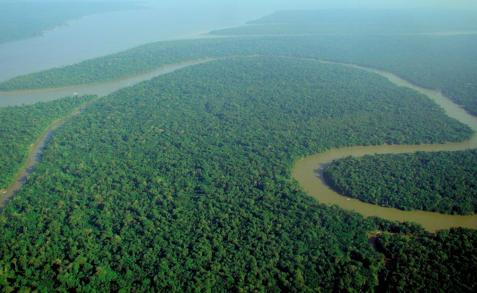 Photo: lubasi, Creative Commons Attribution-ShareAlike 2.0 (CC BY-SA 2.0)
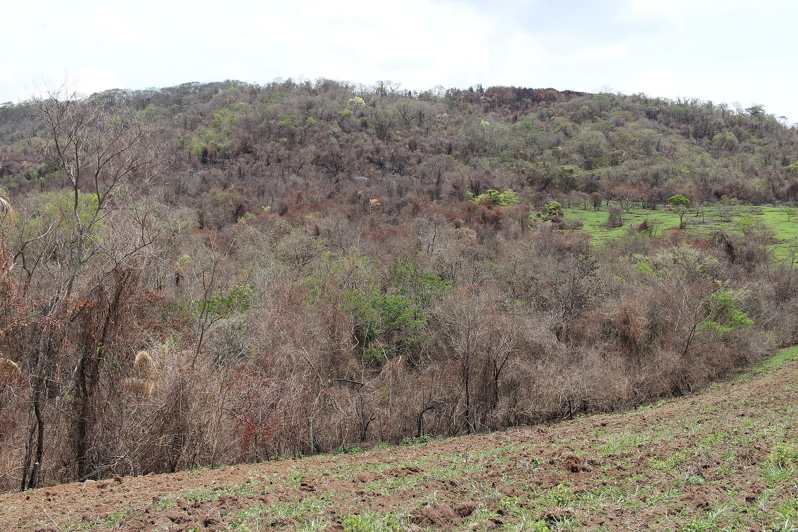 Thyrome, CC BY 4.0.
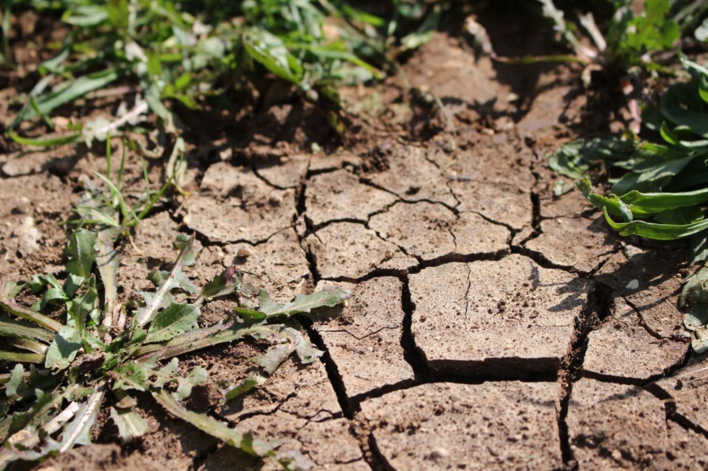 pxhere, CC0 Public Domain. Free for personal and commercial use. No attribution required

