The trees that weren’t there: a new map reveals previously unseen plants in the tropics
 Karina Carvalho CC0 1.0 Universal CC0 1.0 Deed
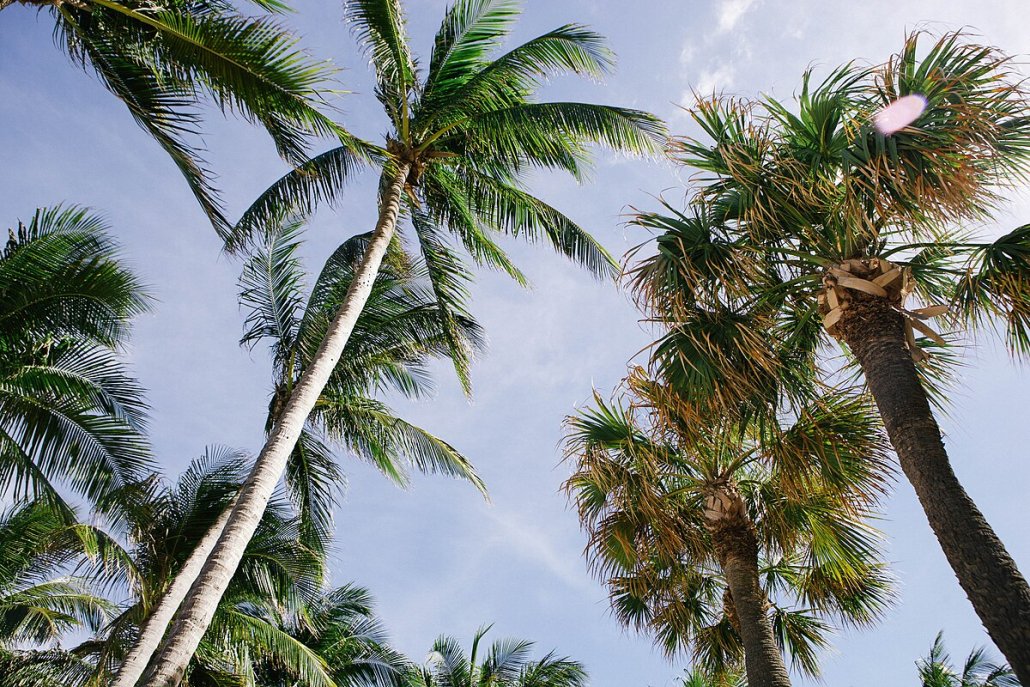
New research reconsiders the presence of trees in tropical regions. Until now models excluded one in six plants. Thus ignoring the related ecological benefits
by Matteo Cavallito
Studies on the distribution of trees in World tropical regions have allegedly so far ignored a significant share of the total cover. This is claimed by a study published in Nature Communications that involved several research institutions including the French Laboratory of Climate and Environmental Sciences (LSCE), the University of Copenhagen, the Spanish Global Ecology Unit (CREAF-CSIC-UAB), the Humboldt University of Berlin, the universities of Chittagong and Tsinghua, and the Chinese University of Geosciences in Beijing.
Through high-resolution analysis and the use of machine learning algorithms, the researchers mapped the trend of tree occurrence in the area over eight years. As a result of the increased accuracy of the survey, the study also allowed to identify scattered trees in agricultural, urban or semi-arid environments, i.e., those areas that previous surveys tended to ignore. The results were surprising.
17% of trees are there but cannot be seen
In processing satellite imagery with a resolution of less than 5 meters and an accuracy of more than 97 percent, the study focused on the pan-tropical belt – which includes Central and South America, sub-Saharan Africa, Southeast Asia, and the Pacific Islands – in the period between 2015 and 2022. In this way, the authors managed to produce an updated map, discovering, in particular, how more than half (53.37 percent) of the total cover is found outside traditional forests: that is, in pastures, cultivated fields, cities and even deserts.
The survey also revealed the additional presence of previously overlooked trees, which are estimated to cover a total of 395.9 million hectares, or 17.31 percent of tropical cover.
But where are these “invisible” plants found? According to the researchers, the most neglected areas are grasslands and shrubs, where undetected cover reaches about 15 percent. This is followed by agricultural land, with 2.15 percent of trees escaping detection. At the continental level, Africa shows the highest value of previously undetected tree cover (PUTC) in grasslands: with more than 26 percent. In Asia, on the other hand, the highest value of unseen trees is in agricultural areas (4.41 percent).
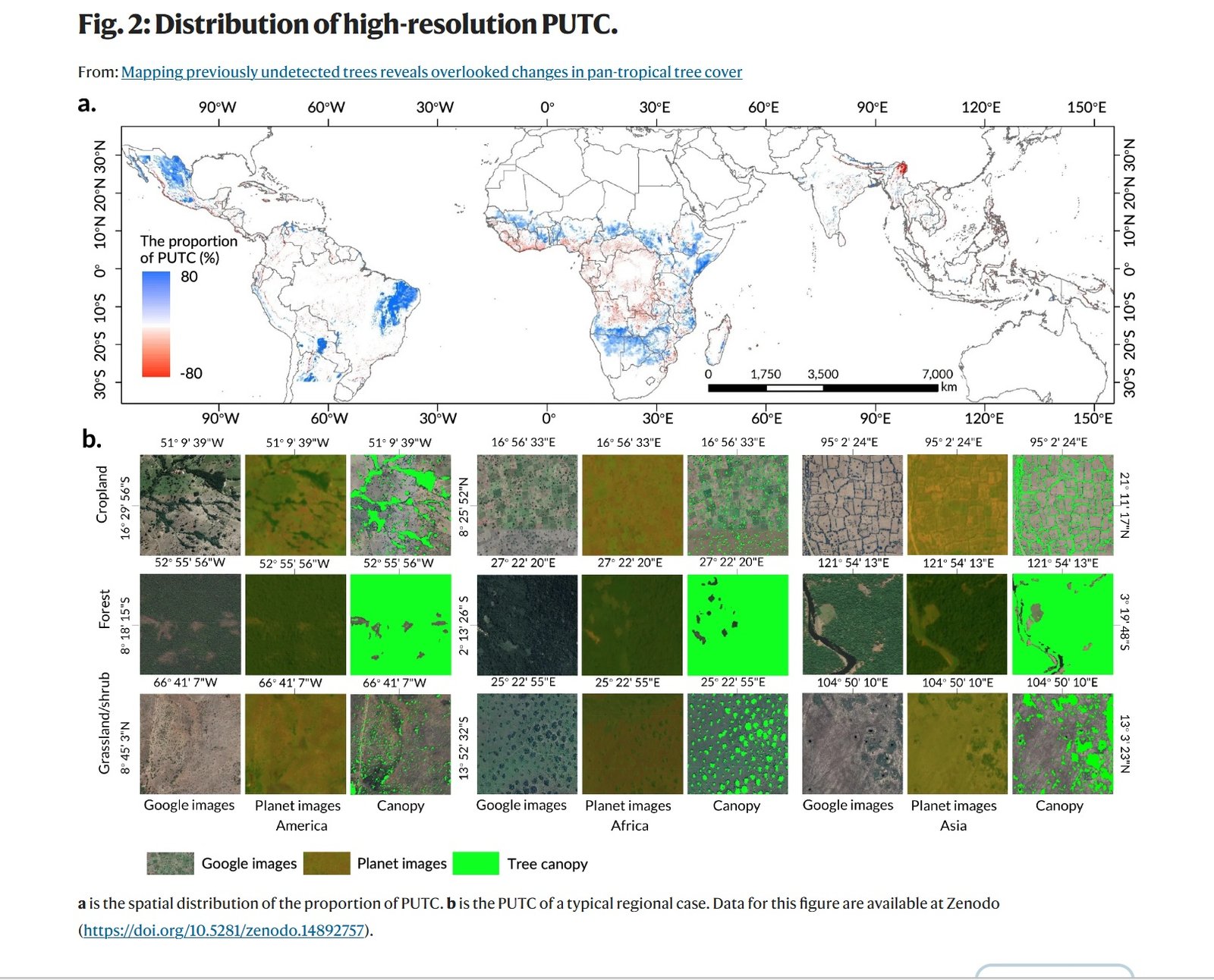
The grid type with the highest proportion of PUTC is shrub/grassland grid (15.11%), followed by cropland (2.15%), bare land/desert (0.40%), and built-up area grid (0.08%). Source: Liu, S., Zhang, J., Wang, L. et al. Mapping previously undetected trees reveals overlooked changes in pan-tropical tree cover. Nat Commun 16, 5561 (2025). https://doi.org/10.1038/s41467-025-60662-z Attribution-NonCommercial-NoDerivatives 4.0 International CC BY-NC-ND 4.0 Deed
Underestimated ecological benefits
The implications of the study are considerable. To date, the authors recall, maps made for tropical areas effectively ignore 1 in 6 trees. This results in an underestimation not only of actual cover but also of benefits associated with such plants such as carbon sequestration, biodiversity and climate mitigation related to their shading power. This underestimation, in turn, hampers the monitoring of emissions, the analysis of ecological dynamics, and the design of conservation and restoration policies.
To protect trees in the tropics and their essential role, in short, we need to look beyond forest areas by taking a more effective and versatile approach.
Indeed, the traditional survey strategy, which relies on rigid definitions of “forest,” risks missing the reality of mixed landscapes. “The primary challenge is consistently assessing all tree and forest resources across countries and over time,” the study explains. “However, shifting the focus to individual trees could offer a more accurate and universally applicable framework for assessing forest resources.”
Cover in the tropics records minus 61 million hectares
By constructing new high-resolution mapping, the study has calculated tree cover trends for the period 2015-2022. During this period, “The area of tree cover in the pan-tropical net decreased by 2.67% ± 0.10% (61.05 ± 2.36Mha), with forest and non-forest grids contributing 63.93% and 36.07%, respectively.” In detail, the area recorded a gross loss of more than 67 million hectares, or nearly 3 percent of tropical tree cover, while recording just under 6.2 million hectares of new trees.
The greatest weight of net loss was concentrated in Brazil, Indonesia and the Democratic Republic of Congo. Human activities were the main driver of the decline in tree presence, driven in particular by deforestation and land conversion. Contributing to increases in canopy cover, on the other hand, was mainly increased rainfall, the study concludes.
 Photo: PickPik Royalty-Free photo
  Billy Lindblom Attribution 2.0 Generic CC BY 2.0 Deed
 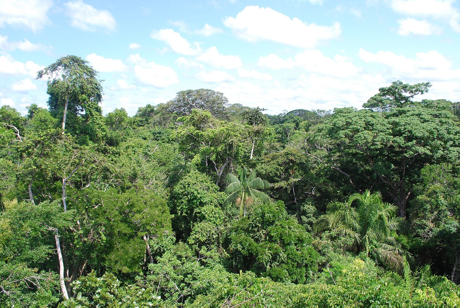 Ivan Mlinaric Attribution 2.0 Generic CC BY 2.0 Deed

