How AI will ensure better prediction of erosion

The University of Illinois, tested a machine learning system that combines several predictive models of erosion. With better results than individual algorithms
by Matteo Cavallito
Erosion represents one of the most worrisome phenomena for the Planet’s soils. But not all such events are created equal. Indeed, among the various forms of degradation, gully erosion emerget as the most intense form. This phenomenon, caused by heavy rainfall, produces deep channels – called badlands – in the countryside, compromising soil fertility and increasing sediment transport into waterways.
In this scenario, of course, identifying in advance the areas at risk allows for targeted interventions, such as land cover, drainage and vegetation management. Essential, in short, is predictive capacity, a resource that today, one study argues, can be further improved. Thanks to artificial intelligence.
The study
Published in the Journal of Environmental Management, the research, by a team of scientists from the University of Illinois Urbana-Champaign, proposed a new predictive methodology that was tested in a rural area of Jefferson County in the southern part of the state. The area, the study explains, “features rolling topography and is about 60% agricultural land, primarily used for growing corn and soybeans.”
The machine learning model tested is based on the stacking ensemble technique. That is, on the combination of several predictive algorithms.
Such a system is able to exploit the strengths of each model to improve the overall accuracy. On the occasion, the researchers mapped “the study area based on elevation differences observed between 2012 and 2015.” In training and validating the models, moreover, the authors examined 25 variables “that can affect erosion susceptibility, including topography, soil properties, vegetation features, and precipitation patterns.” The results were promising.
More accurate information on erosion
A total of 44 different models were evaluated each consisting of a combination of basic models. Then, says an article published by the University of Illinois, the authors “created gully erosion susceptibility maps using the best-performing stacking model and four individual models.” The performance was significantly better than that achieved by the individual algorithms.
In fact, the researchers “found that the best stacking model achieved a prediction accuracy of 91.6 %, compared to 86% for the best individual model.”
With the use of a specific tool known as SHAP (SHapley Additive exPlanations), an artificial intelligence-based technique that assigns each variable a specific impact, it was also possible to identify the weight of the individual factors involved. The system, in particular, “identified the annual leaf area index (LAI) as the most influential feature in both base models.” Simplifying, the article continues, it means that “greater leaf coverage reduces the direct impact of rainfall on soil, which in turn decreases the severity of erosion.”
A resource for informed decisions
According to scientists, the research provides a useful tool for land-use planning and hydrological risk management. Indeed, by creating more accurate risk maps, artificial intelligence helps effectively guide targeted prevention interventions, such as reforestation, runoff management or infrastructure protection. The research, in short, introduces “an innovative, explainable stacking ensemble model to enhance predictive performance for gully erosion susceptibility prediction.” Thus providing “transparent interpretations of model decisions,” the authors conclude.
 Photo: PickPik Royalty-Free photo
 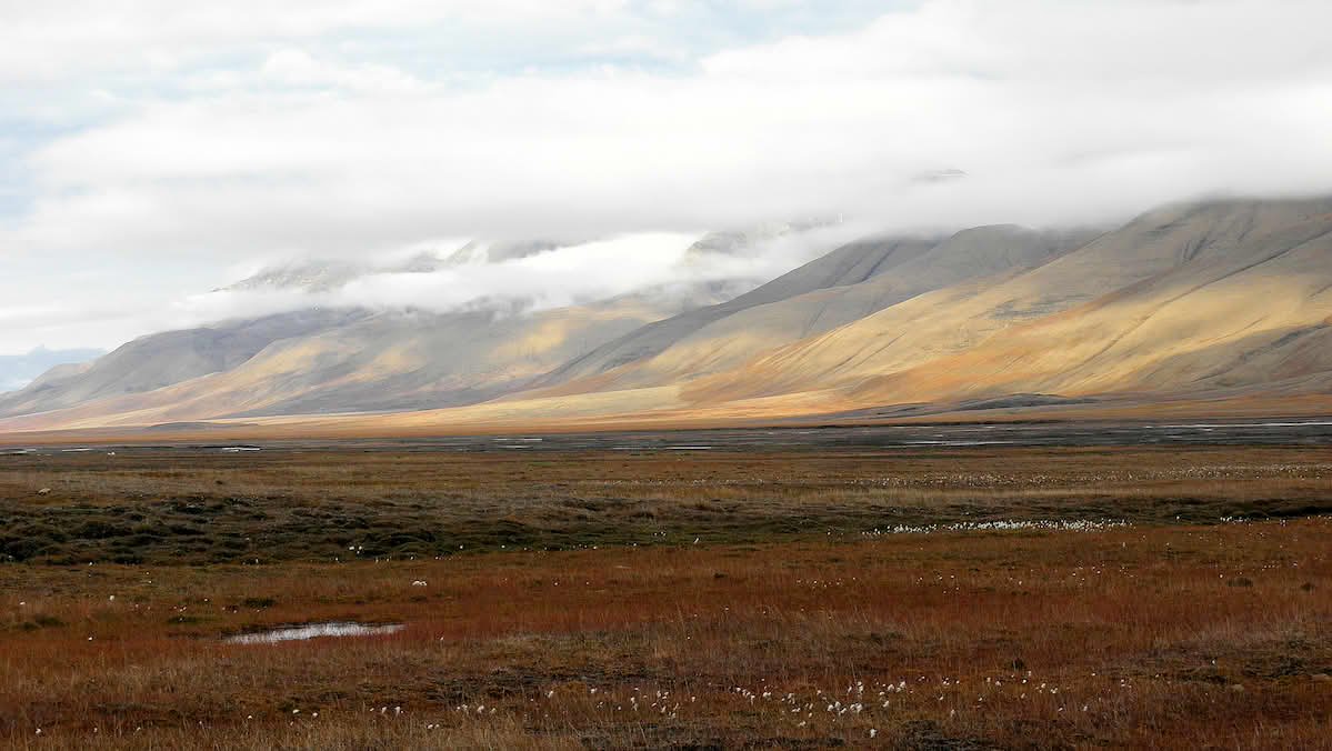 Billy Lindblom Attribution 2.0 Generic CC BY 2.0 Deed
  Ivan Mlinaric Attribution 2.0 Generic CC BY 2.0 Deed

