In California, fires and subsequent floods accelerate erosion
 Tomwsulcer CC0 1.0 Universal CC0 1.0 Deed
 According to a study by the US Geological Survey, erosion on California coasts is closely linked to extreme weather events enhanced by progressive climate change
by Matteo Cavallito
Extreme climate-related events contribute to an increase in the rate of soil erosion. This is supported by a recent study by the United States Geological Survey (USGS) conducted in the Carmel River watershed on the central California coast.
The research, in particular, aimed to quantify the sediments generated by fires that were followed by rainfall and flooding. The results, according to a statement, “indicated that the sediment production rate following these events was significantly higher than the long-term average for the region.”
Fires and extreme rainfall increase erosion
The researchers could therefore explore the details of a significant problem. “In a warming climate, an intensifying fire regime and higher likelihood of extreme rain are expected to increase watershed sediment yield in many regions,” the study explains. “Understanding regional variability in landscape response to fire and post-fire rainfall is essential for managing water resources and infrastructure.”
Once their observations were complete, the scientists validated the results with predictions from a model known as the Water Erosion Prediction Project (WEPP) and developed by the USGS. This model, they explain, could accurately predict the amount of sediment that would be produced, proving useful in estimating in advance the results of erosion phenomena occurring in similar environments.
Sediment accumulation can increase more than 4-fold
“We measured sediment yield resulting from sequential wildfire and extreme rain and flooding in the upper Carmel River watershed (116 km2), on the central California coast, USA, using changes in sediment volume mapped in a reservoir,” the study continues. Here, “the sediment yield after fire and post-fire flooding was 854–1,100 t/km2/yr.”
That is, “a factor of 3.5–4.6 greater than the long-term yield from this watershed and more than an order of magnitude greater than during severe drought conditions.”
Particularly encouraging is the data on the prediction model’s efficacy. “In this first large-scale field validation test of the WEPPcloud/wepppy framework for the Water Erosion Prediction Project (WEPP) model on a burned landscape, WEPP predicted 81%–106% of the measured sediment yield,” the research states.
California at the centre of the climate crisis
The data that have emerged are particularly relevant for a better understanding of the dynamics between fire, rainfall and erosion phenomena. Especially in those regions characterised by wet winters and dry summers. These problems, exacerbated by climate change, have become evident in recent years in California, where drought-fuelled fires and floods have triggered these kinds of processes.
The destruction of plants caused by fires, for example, weakens the roots of plants, thereby reducing soil stability. This phenomenon, combined with the decreased permeability of the soil, increases water runoff during rainfall, thus increasing the risk of instability. Also for this reason, the authors conclude, the research provides food for thought for managing the impacts of climate change on water resources and infrastructure.
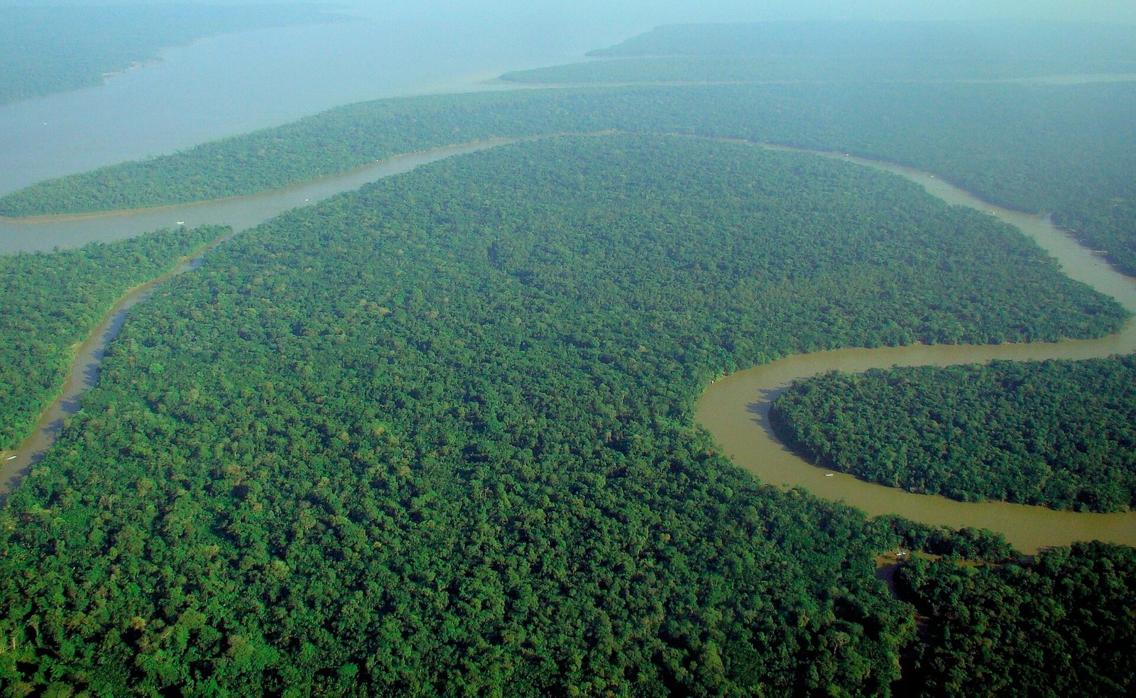 Photo: lubasi, Creative Commons Attribution-ShareAlike 2.0 (CC BY-SA 2.0)
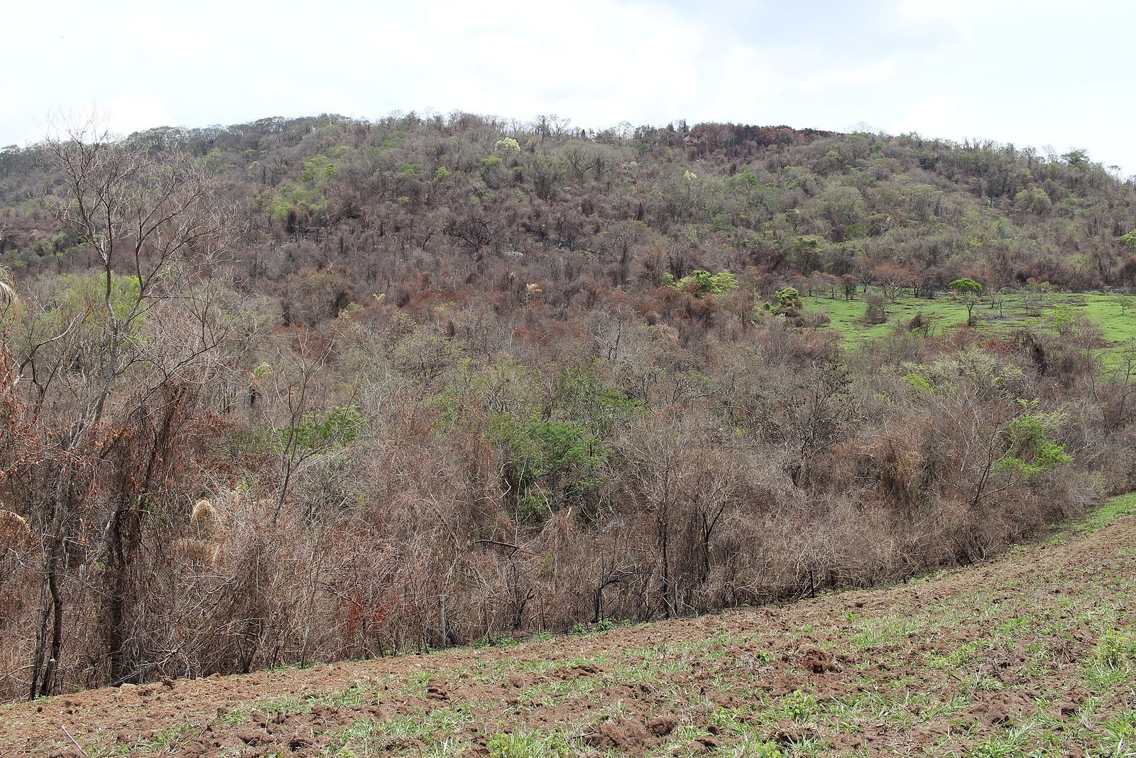 Thyrome, CC BY 4.0.
 pxhere, CC0 Public Domain. Free for personal and commercial use. No attribution required

