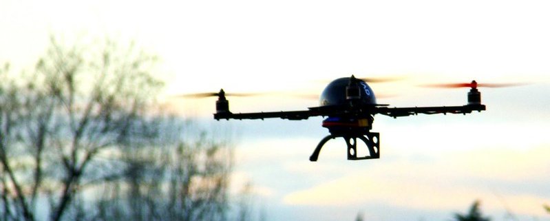
Drones open a new frontier in soil mapping
Drones equipped with light spectrometers can map the ground and explore otherwise inaccessible areas, Dutch researchers have found. This application can also provide crucial data for soil protection and remediation
Copy and paste this URL into your WordPress site to embed
Copy and paste this code into your site to embed